Archivo:North German Confederation 1870.svg

Tamaño de esta previsualización PNG del archivo SVG: 450 × 456 píxeles. Otras resoluciones: 237 × 240 píxeles · 474 × 480 píxeles · 758 × 768 píxeles · 1011 × 1024 píxeles · 2021 × 2048 píxeles.
Ver la imagen en su resolución original ((Imagen SVG, nominalmente 450 × 456 pixels, tamaño de archivo: 705 kB))
Resumen


.svg)
.svg)
.svg)
.svg)
.svg)


.svg)
.svg)
.svg)


.png)
.png)


.svg)


.svg)

.svg)


.svg)
.svg)
.svg)
.svg)


.svg)
.png)


.svg)


.svg)
.svg)


.svg)


.svg)


.svg)
.svg)
.svg)
.svg)
.svg)
.svg)
.svg)
_cropped.svg)
.svg)
.svg)
.svg)
.svg)
.svg)
.svg)
.svg)
.svg)
.svg)
.svg)
.svg)
.svg)
.svg)
.svg)
.svg)
.svg)
.svg)
.svg)
.svg)
.svg)
.svg)
.svg)
.svg)
.svg)
.svg)
.svg)
.svg)
.svg)
.svg)
.svg)
.svg)
.svg)
.svg)
.svg)
.svg)
.svg)
.svg)
.svg)
.svg)
.svg)
.svg)
.svg)
.svg)
.svg)
.svg)
Licencia
Este archivo está disponible bajo la licencia Creative Commons Attribution-Share Alike 4.0 International.
- Eres libre:
- de compartir – de copiar, distribuir y transmitir el trabajo
- de remezclar – de adaptar el trabajo
- Bajo las siguientes condiciones:
- atribución – Debes otorgar el crédito correspondiente, proporcionar un enlace a la licencia e indicar si realizaste algún cambio. Puedes hacerlo de cualquier manera razonable pero no de manera que sugiera que el licenciante te respalda a ti o al uso que hagas del trabajo.
- compartir igual – En caso de mezclar, transformar o modificar este trabajo, deberás distribuir el trabajo resultante bajo la misma licencia o una compatible como el original.
Historial del archivo
Haz clic sobre una fecha y hora para ver el archivo tal como apareció en ese momento.
| Fecha y hora | Miniatura | Dimensiones | Usuario | Comentario | |
|---|---|---|---|---|---|
| actual | 02:58 1 jun 2016 | | 450 × 456 (705 kB) | Alphathon | Various corrections to the states of the North German Confederation |
| 05:22 31 may 2016 |  | 450 × 456 (662 kB) | Alphathon | Uploaded wrong file | |
| 05:22 31 may 2016 |  | 450 × 456 (725 kB) | Alphathon | Minor corrections (Tarasp and post-1818 German Confederation border change) | |
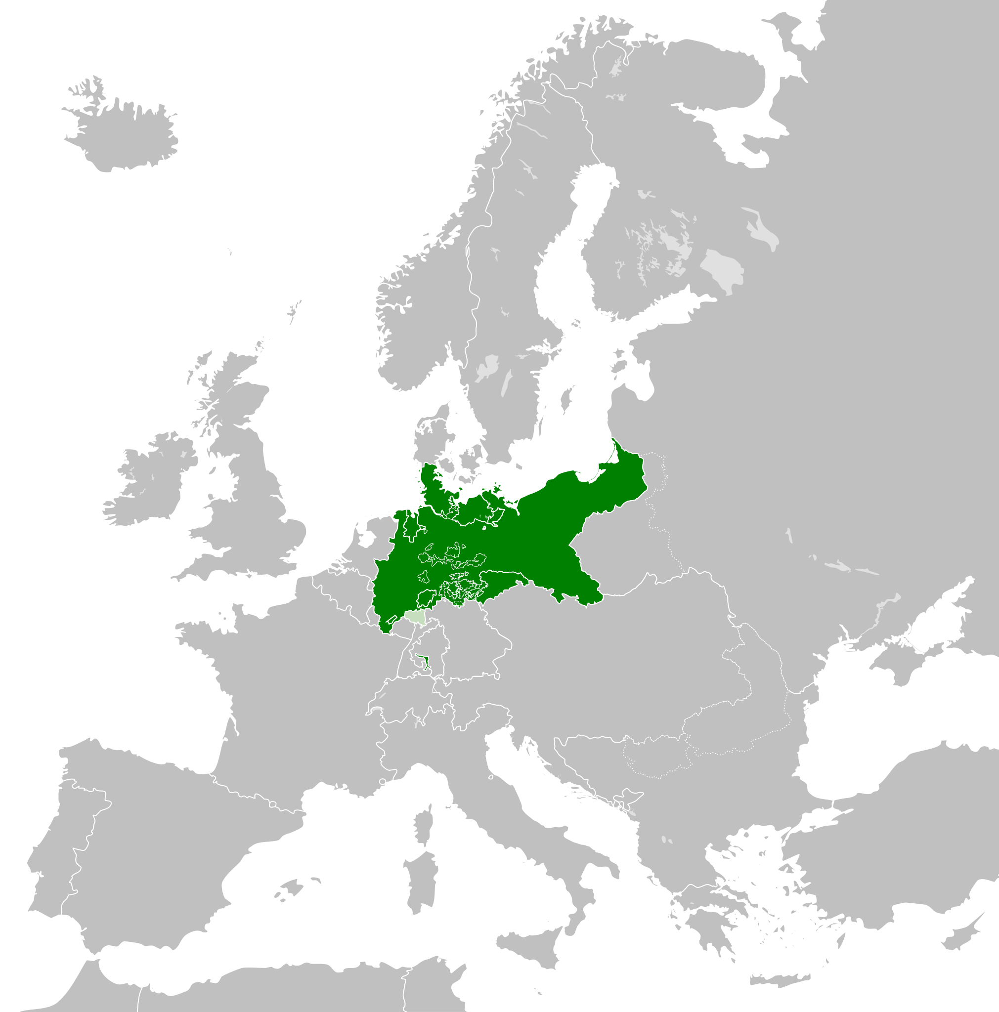
| 02:40 31 may 2016 |  | 450 × 456 (662 kB) | Alphathon | == {{int:filedesc}} == {{Inkscape}} {{Information |Description={{en|A map of the en:North German Confederation within Europe circa 1870 CE.}} |Source= {{Derived from|Blank_map_of_Europe.svg|display=50}} |Date=2016-05-31 |Author=*[[:File:Bla... |
Usos del archivo
La siguiente página usa este archivo:
Uso global del archivo
Las wikis siguientes utilizan este archivo:
- Uso en ang.wiki.x.io
- Uso en ar.wiki.x.io
- Uso en azb.wiki.x.io
- Uso en bg.wiki.x.io
- Uso en cs.wiki.x.io
- Uso en en.wiki.x.io
- Uso en eu.wiki.x.io
- Uso en fa.wiki.x.io
- Uso en fi.wiki.x.io
- Uso en fr.wiki.x.io
- Uso en he.wiki.x.io
- Uso en hr.wiki.x.io
- Uso en is.wiki.x.io
- Uso en it.wiki.x.io
- Uso en ko.wiki.x.io
- Uso en lt.wiki.x.io
- Uso en lv.wiki.x.io
- Uso en ms.wiki.x.io
- Uso en pl.wiki.x.io
- Uso en pt.wiki.x.io
- Uso en ru.wiki.x.io
- Uso en sv.wiki.x.io
- Uso en th.wiki.x.io
- Uso en tr.wiki.x.io
- Uso en vi.wiki.x.io
- Uso en zh.wiki.x.io